Satellites & data
Areion Mars Surface Mapper
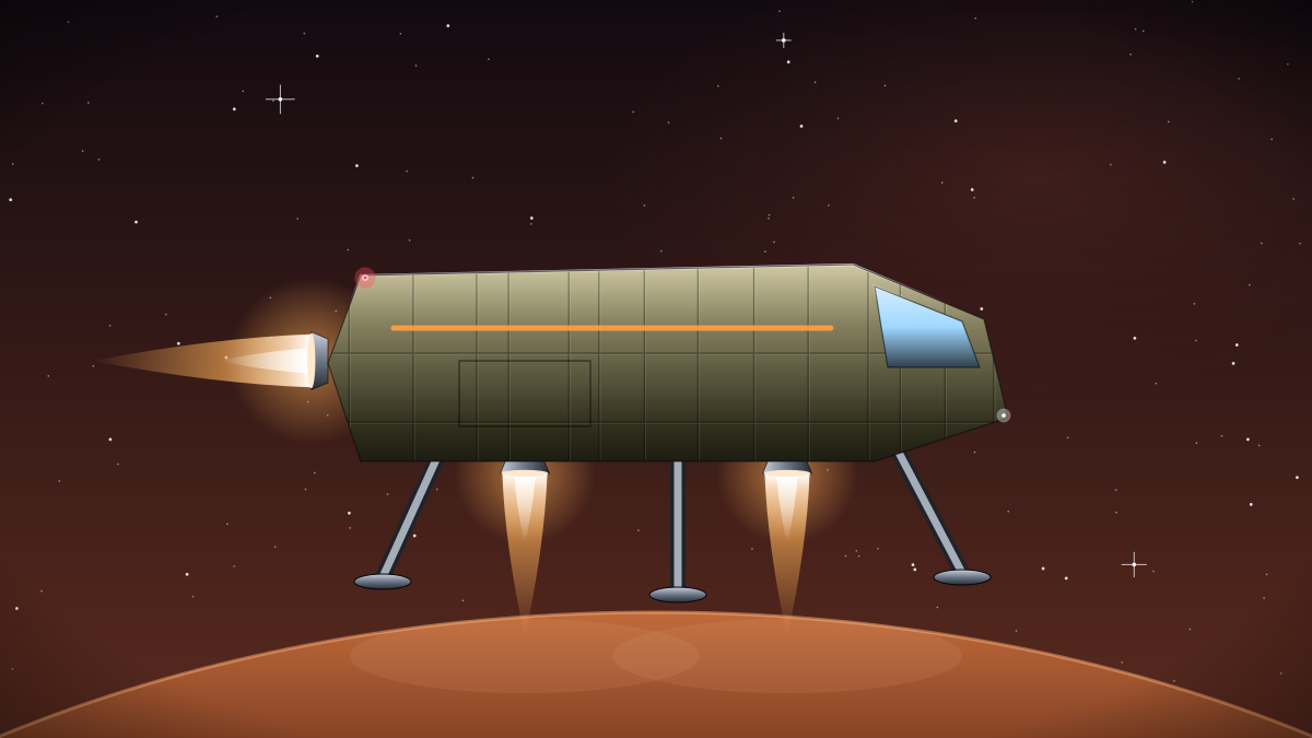
Areion is a two-spacecraft constellation flying in a 420 km sun-synchronous orbit around Mars. Each satellite carries a 1.1-metre optical telescope and a low-frequency sounding radar, and together they revisit any point on the planet every 38 hours. Since entering service in 2184 the pair has imaged 96 per cent of the Martian surface at 30 centimetre resolution and charted water ice down to a depth of 140 metres.
The most heavily used product is the landing hazard layer. Every Cascade Dropship descent to an unprepared site is planned against Areion slope and boulder maps, and the dust storm alert feed gives flight crews roughly 18 hours of warning before a regional storm closes a landing window. Settlement planners on the Olympus Ring use the ice radargrams to decide where to drill for water.
All imagery is released under CC-BY-4.0 within 72 hours of downlink. Tiles are served from the Halcyon open data portal as cloud-optimised rasters, and the processing pipeline is published in the project repository so anyone can reproduce the mosaics from raw frames.
Hana Park leads the science team from the Olympus Ring. Contributions are welcome: the team particularly wants help improving the automated boulder detector and translating the dust alert bulletins into more languages. Current products include 30 cm optical mosaics, subsurface ice radargrams and dust storm alerts. Everything is distributed under the CC-BY-4.0 licence, with source and documentation at https://git.halcyon.example/areion-mars-mapper, and the open data team answers questions on the community forum within two working days. Partners who build commercial services on top of it are asked only to credit Halcyon Stellar Works and to report errors they find, so that every user benefits from the fix.