Satellites, data & open source
 Satellites & data
Satellite
Areion Mars Surface Mapper
A pair of Mars mapping satellites that photograph the surface at 30 cm resolution and probe buried ice with radar, feeding landing-site planning for Cascade crews.
Satellites & data
Dataset
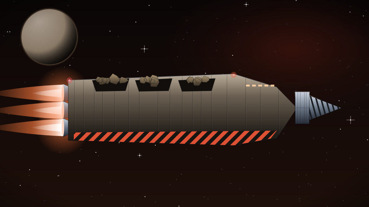
Cascade Descent Profiles
Trajectory and engine data from 1,900 Cascade Dropship landings on Mars, Luna, Titan and Ganymede.
 Satellites & data
Satellite
Ceres Beacon Navigation Network
Four beacon satellites over Ceres that give ore haulers and freighters precise positioning in the busiest port of the Asteroid Belt.
 Satellites & data
Dataset
Cislunar Traffic Ledger
A public ledger of every registered ship movement between Earth orbit, Luna and Kepler Yards at L5.
 Satellites & data
Satellite
Corona Jovian Radiation Monitor
A radiation monitor in a long looping orbit around Jupiter that forecasts particle storms for gas-skimmer crews and Galilean moon operations.
 Satellites & data
Open source project
Corvid QuietNav
The passive navigation library that lets Corvid Stealth Scouts fix their position without emitting a single radio signal.
 Satellites & data
Open source project
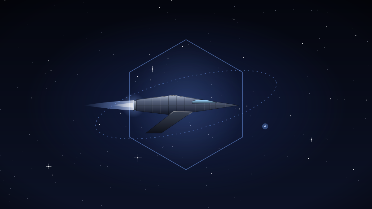
Drydock Structural Simulator
The structural simulator Halcyon uses to plan how Gravitas barges assemble large hulls like the 2.4 km Meridian Colony Ark.
 Satellites & data
Dataset
Eidolon Interstellar Medium Survey
Measurements of dust and gas along the route to Proxima Centauri b, collected to judge whether a crewed lightsail could survive the trip.
 Satellites & data
Satellite
Geyserline Enceladus Plume Sampler
A plume-sampling satellite that flies through the geysers of Enceladus every eleven days, measuring the water and ice that Tempest crews harvest.
 Satellites & data
Open source project
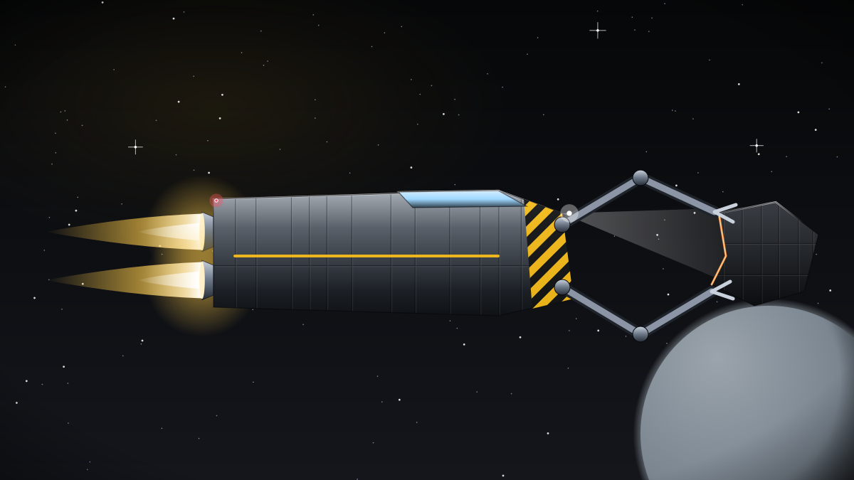
Grapple Vision Toolkit
Computer vision software that helps Basilisk tugs and Polaris tenders safely grab tumbling derelicts and satellites.
Satellites & data
Dataset
Halcyon Open Star Chart 2187
A free, public-domain star chart of 1.8 billion stars, tuned as a navigation reference for spacecraft star trackers.
 Satellites & data
Open source project
Halyard Flight Software Framework
The open flight software framework at the heart of every Halcyon cockpit, from the Sparrow Trainer to the Aurora Mk II courier.
 Satellites & data
Satellite
Heliograph Solar Weather Sentry
A solar observatory parked at Sun–Earth L1 that gives ships and stations early warning of flares and coronal mass ejections.
Satellites & data
Satellite
Hesper Titan Atmosphere Sounder
A weather satellite for Titan that forecasts methane rain and haze, supporting the first Meridian Colony Ark settlements and Cascade landings.
Satellites & data
Satellite
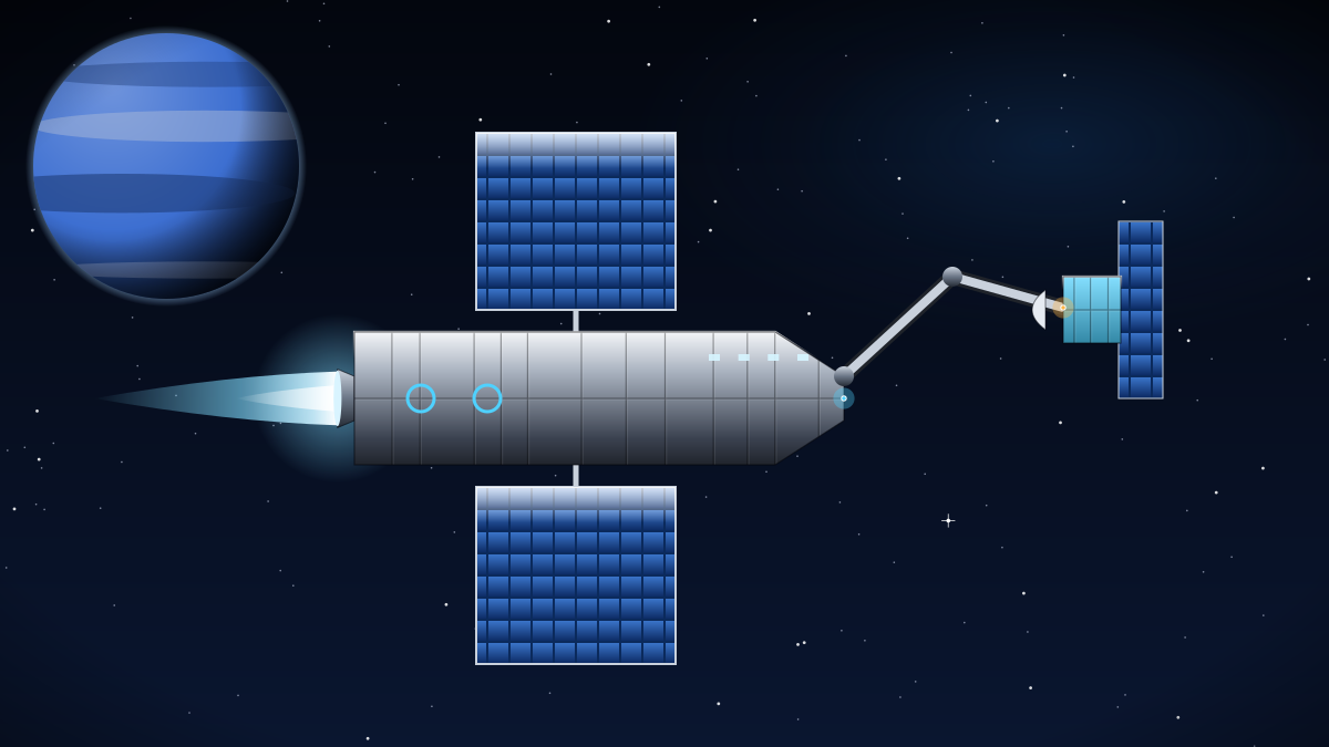
Kittiwake Debris Tracker
Three radar satellites that track orbital debris around Earth down to 2 cm and steer Basilisk salvage tugs toward the most dangerous objects.
 Satellites & data
Satellite
Lantern Deep-Space Relay Constellation
Six optical relay satellites around L5 that route high-bandwidth laser traffic between Earth, Luna, Kepler Yards and the outer system.
Satellites & data
Dataset
Leviathan Drive Wear and Fuel Burn Logs
Voyage-by-voyage fuel burn and drive wear data from Leviathan and Atlas fleets, published so operators can compare real fuel economy.
Satellites & data
Dataset
Nimbus Gas Giant Atmospheric Profiles
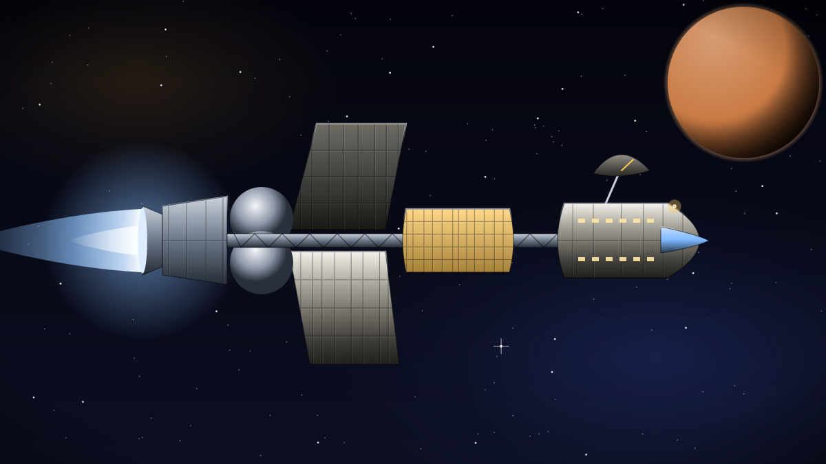
In-situ atmospheric measurements from thousands of Nimbus Gas Skimmer dives into Jupiter and Saturn.
 Satellites & data
Dataset
Odyssey Ice Giant Telemetry Archive
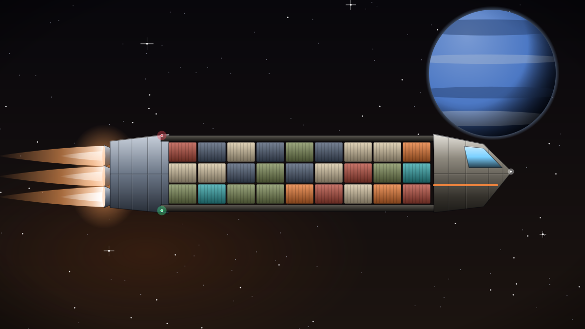
Every byte of science and engineering telemetry returned by Odyssey Deep Explorer expeditions to Uranus and Neptune.
 Satellites & data
Open source project
Orrery Trajectory Planner
An open trajectory optimiser that finds the cheapest routes between worlds and estimates fuel cost for freighters and tankers.
Satellites & data
Open source project
Pellet Fusion Digital Twin
An open model of helium-3 pellet fusion drives, used to predict thrust, efficiency and fuel economy for ships like the Odyssey and Starliner.
Satellites & data
Satellite
Phobos Anchor Relay
A relay satellite riding alongside Phobos that keeps far-side Mars outposts connected to the Olympus Ring and the rest of the system.
 Satellites & data
Satellite
Selene Lunar Positioning Grid
Eight satellites giving metre-level positioning across the Moon, used by every Wren lifter and Kestrel shuttle landing at Shackleton Base.
Satellites & data
Open source project
Seraph Triage Assistant
Open triage software used aboard Seraph Medevac ships to prioritise patients during emergencies far from hospitals.