Satellites & data
Selene Lunar Positioning Grid
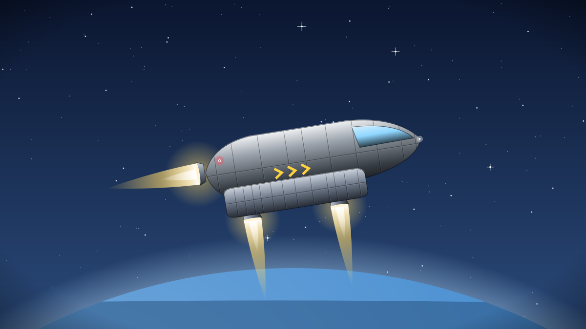
Selene is a constellation of eight satellites in stable frozen orbits about 3,000 km above the Moon. Together they broadcast a positioning signal accurate to under a metre anywhere on the lunar surface, including the permanently shadowed craters near Shackleton Base.
Wren Microlifter pilots flying solo between the surface and low orbit rely on Selene for automated approach guidance, and Kestrel shuttles use it to line up with the pads at Shackleton. The grid also publishes a live landing pad availability map.
Signal specifications, ephemerides and traffic maps are open under the ODbL. Mining and construction partners on Luna embed Selene receivers in their surface rovers.
Yusuf Demir's mission control team on Luna maintains the grid. Receiver firmware contributions and new surface map layers are welcome. The full set of outputs (lunar positioning signal, surface traffic maps and landing pad availability) is licensed Open Data Commons ODbL, with source and documentation at https://git.halcyon.example/selene-grid. Halcyon commits to keeping it available for at least twenty years, with older versions preserved in the open data archive. Feedback from partners shapes the roadmap; most new features over the past two years began as a request on the public tracker.