Satellites & data
Grapple Vision Toolkit
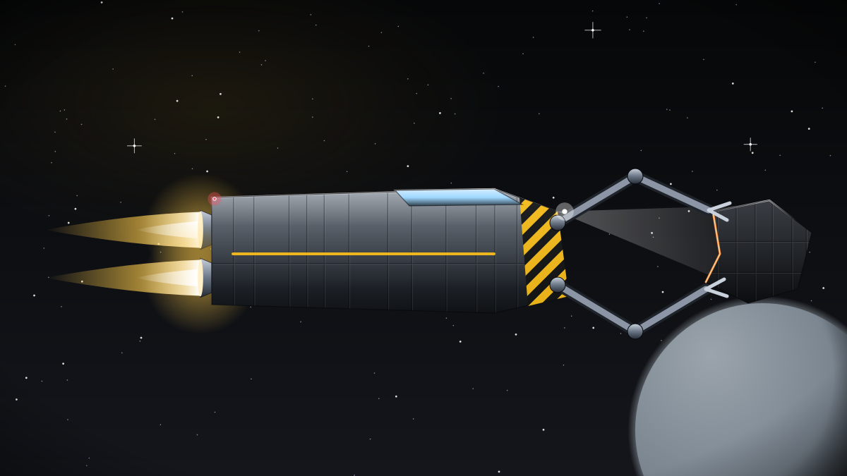
Grabbing a tumbling, unlit derelict is a delicate job. Grapple Vision estimates the pose and spin of a target from camera and lidar data, then identifies safe capture points such as docking rings, engine bells or structural frames.
Basilisk Salvage Tug crews use it to approach debris tracked by Kittiwake, and Polaris Relay Tenders use the same toolkit when docking with satellites that were never designed to be serviced. Mei-Lin Zhou's autonomy group trains its models on thousands of recorded approaches.
The toolkit is Apache-2.0 licensed. Salvage partners and university robotics labs use it in their own capture systems.
Contributors can add new target models to the shared library or improve the tumble estimator; labelled approach recordings are in the repository. To get started, pick up object pose estimation, capture point detection and tumble rate estimator, all published under Apache-2.0, with source and documentation at https://git.halcyon.example/grapple-vision. New contributors are paired with a maintainer for their first change, and the project holds a monthly open call where partners, students and Halcyon engineers compare notes. Releases are versioned and archived, so analyses can always be reproduced against the exact data or code they used.