Partner
Vanguard Cartographic Society
The Vanguard Cartographic Society has been mapping the solar system since 2096, when it was founded in Austin as a club of amateur astronomers. It is now a membership society of 90,000 that funds expeditions to the ice giants.
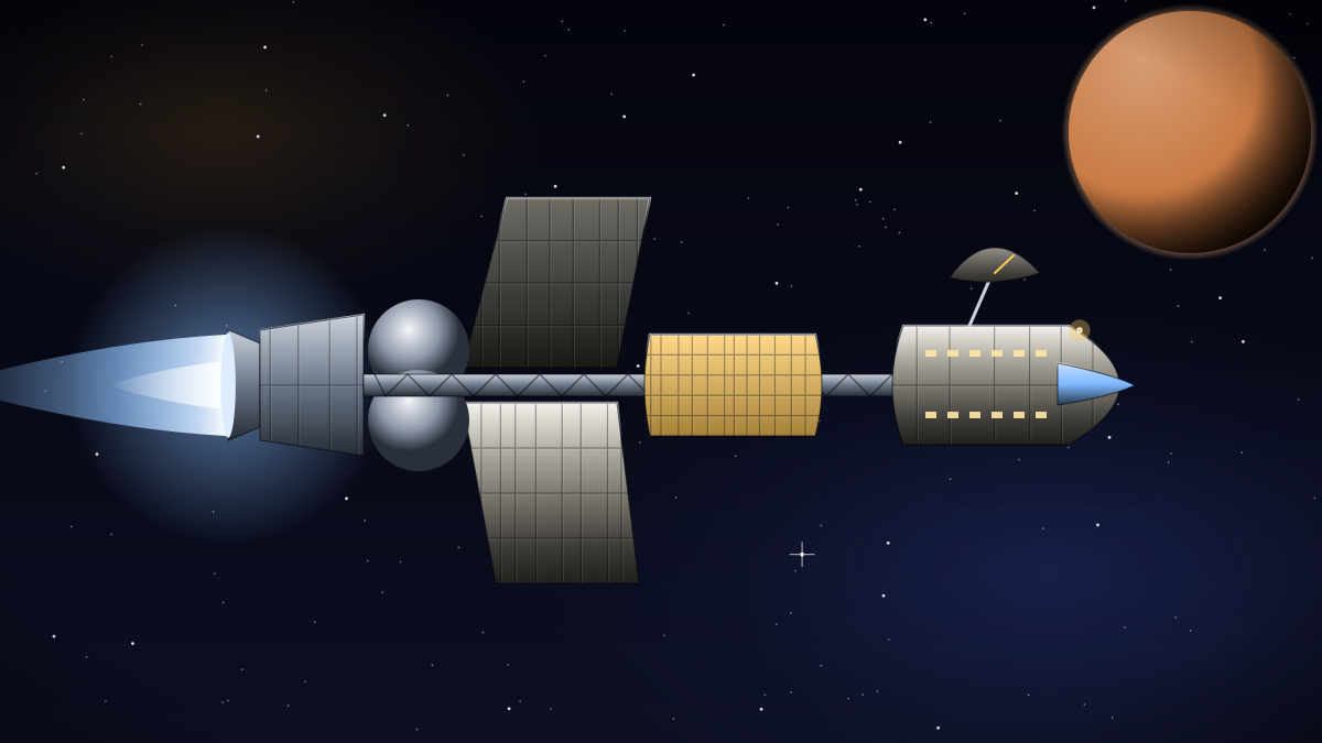
Three Odyssey Deep Explorers are the society's long-range expedition ships. With an 1,800 AU range, four pilots, 18 crew and a closed-loop habitat that supports multi-year voyages, an Odyssey can reach Neptune and spend years surveying its moons. Each cost the society 1,240 million credits, funded through member subscriptions and long-term bonds.
Five Valkyrie Survey Corvettes deploy from the Odysseys for detailed moon surveys, and two single-pilot Corvid Stealth Scouts are used for close fly-bys where a low-signature hull keeps instrument noise down. The society chose Odysseys for their endurance. Running on helium-3 fusion pellets at only 0.85 tonnes per 100 AU, an Odyssey can travel to Neptune and back on the fuel reserves it launches with, avoiding risky refuelling stops in the outer system.
Expedition crews are a mix of professional scientists and society members selected by lottery, which has kept public interest in ice-giant exploration high for nearly a century. The society's maps and star charts are published openly, and many outer-system navigation systems still use Vanguard reference grids.
The society's 2183–2186 Miranda Expedition produced the first complete 10-metre-resolution map of Miranda's cliffs, including the 20-kilometre Verona Rupes. Elias Moreau, Halcyon's developer advocate in Austin, helped release the data openly.